The Brocken mountain

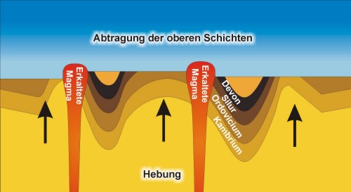
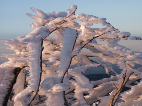
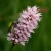
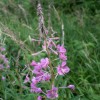
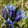
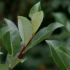
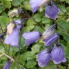
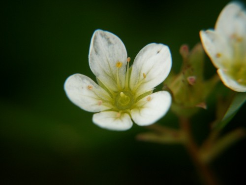
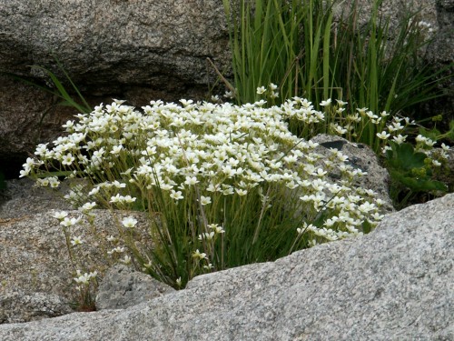
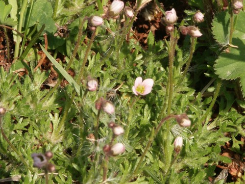
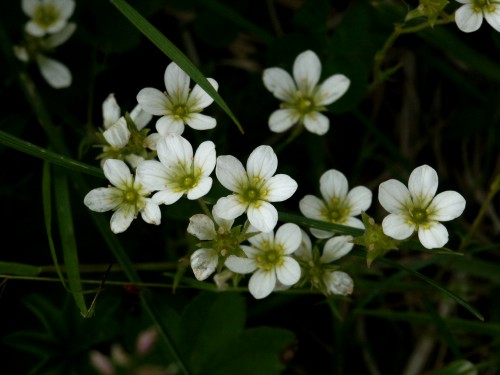
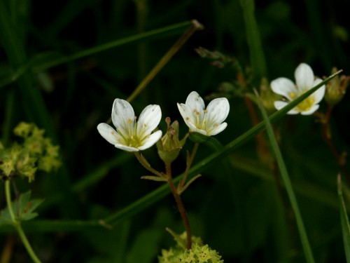
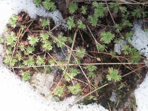
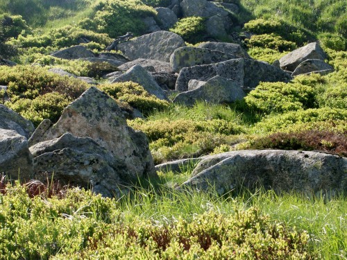
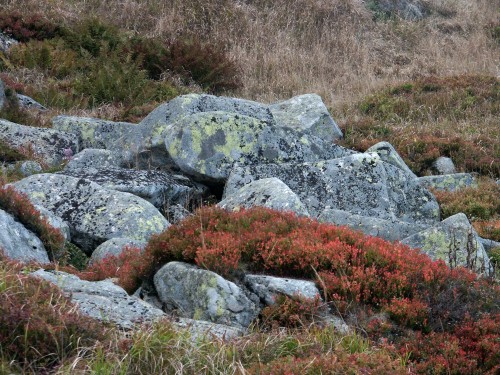
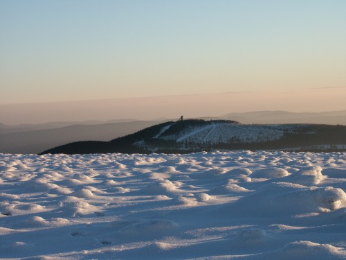
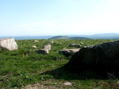
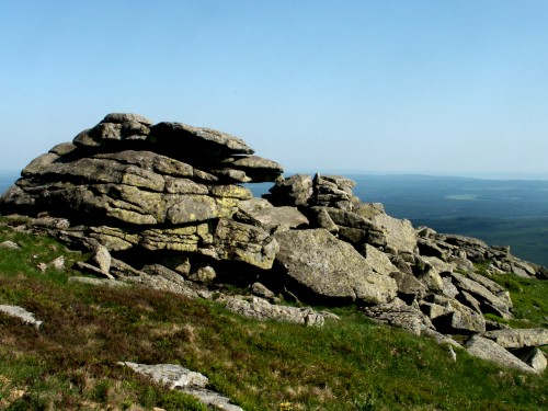
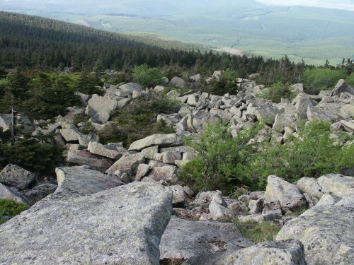
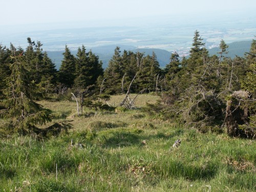
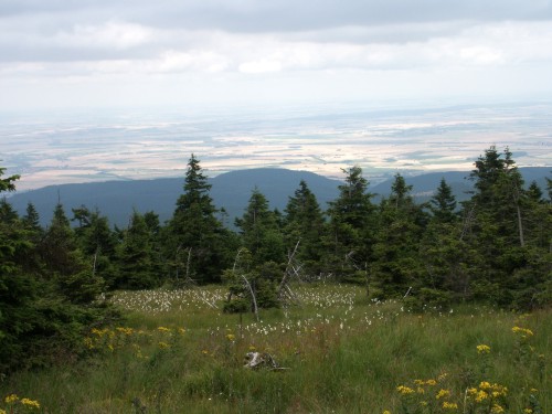
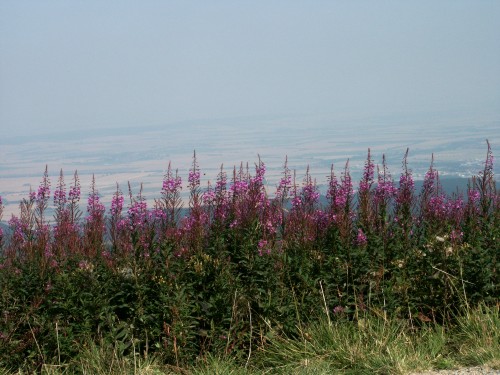
Unfortunately this presentation is available in german language only. It starts with chapters regarding geology, climate and the various biotopes in the Brocken region. The main chapter covers more than 100 plant species from the area. The various topics are finally summarized by a virtual hiking trail.

The presentation is based on HTML and JavaScript. It has been tested using "Netscape Communicator Version 4.7", "Microsoft Internet Explorer Version 5" and "Mozilla 1.6" under the windows operating system. Because this internet-site has been programmed in a very similar style as the CD-presentation, a good performance of these pages implies a similar performance of the CD.

The presentation can be obtained upon request for 10 Euro (inclusive 19 % value added tax and transfer expenses within Germany).

Geology: This chapter covers schematically the geological evolution of the Harz mountains. The picture presented refers to the youngest geological past.

Geology

Climate: This chapter covers the harsh living conditions at the Brocken peak. There is a trip through the various seasons in the Harz mountains and through the changes of vegetation since the end of the last ice ages.

Climate

Biotopes: This chapter covers the four most important biotopes at the Brocken (meadows, forests, bogs and the peak region). I am showing typical pictures of the various seasons and of the respective plants you might encounter. This preview gives a summary of the most important plants from the peak region.

Plants: For each plant the respective natural stand, the phylogenetic position in the plant kingdom, as well as eventually human use or endangering is given. Each plant is presented by several pictures. The preview shows pictures of the Moschus-Steinbrech (Saxifraga moschata) from the Brocken peak. (The photographs are displayed in larger size in the original version.)

Hiking trail: The hiking trail is starting in Schierke. It is leading via the Brocken peak and Torfhaus back to Schierke. (This trail is to long for a normal day trip.) Most stations contain an aerial view, allowing the topological positioning of the various photographs. The preview is showing a small selection of reduced pictures from the Brocken peak.